

Contains modified Copernicus Sentinel data
Contents
Context
Multi-UAV missions needed one system to plan them, watch them and act on what the aircraft saw. We built a custom command-and-control and ground-control system for them, on ROS2 with Fast-DDS on the backend.
Constraints
- Several aircraft in one mission, each streaming telemetry to the ground.
- Encrypted air-to-ground links.
- Navigation where GPS cannot be relied on, so the system supports GPS-denied navigation.
- Imagery turned into intelligence on the ground, in real time.
Architecture
Components and flows
Components
- Aircraft
- UAVs (MAVLink autopilots)
- Link
- Encrypted air-to-ground link
- Ground (ROS2 over Fast-DDS)
- Telemetry
- Mission planning and monitoring
- GPS-denied navigation support
- Imagery intelligence (OpenCV)
- Ground-control station (Electron: desktop and web builds)
Flows
- UAVs to Encrypted air-to-ground link
- Encrypted air-to-ground link to Telemetry
- Encrypted air-to-ground link to Imagery intelligence (imagery)
- Mission planning and monitoring to Encrypted air-to-ground link (commands)
- GPS-denied navigation support to Encrypted air-to-ground link
- Telemetry to Ground-control station
- Imagery intelligence to Ground-control station
- Mission planning and monitoring to Ground-control station
- Backbone: ROS2 with Fast-DDS on the backend, so every part of the ground system publishes and subscribes to the same data.
- Aircraft: autopilots speaking MAVLink over encrypted air-to-ground links.
- Mission planning and monitoring, with live telemetry.
- GPS-denied navigation support.
- Imagery intelligence: OpenCV-based processing of the aircraft's imagery.
- Ground-control station built on Electron, with both desktop and web builds from the same codebase.
I researched RTI Connext DDS for military-grade communications; production used Fast-DDS.
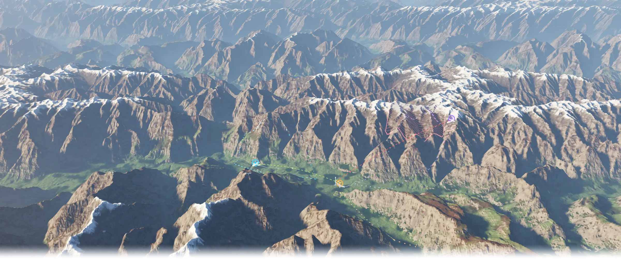
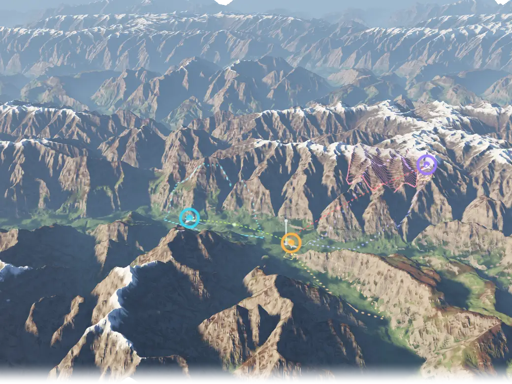
Terrain MULTI-UAV MISSION
- AIRCRAFT ON PLANNED ROUTES
- CAMERA FOOTPRINT
- GPS DENIED
- POSITION UNCERTAINTY
- GROUND STATION
- ENCRYPTED LINK
- LINK MASKED BY TERRAIN
Illustrative concept, not a product screenshot. Terrain: public Terrarium elevation tiles over the Karakoram, chosen for relief.
Key decisions
-
Fast-DDS with ROS2 in production; RTI Connext was researched only.
My role
As CTO of the engineering company I co-founded, I designed the system and wrote large parts of it with the team, from the ROS2 backend to the ground-control station.
Outcome
A working command-and-control and ground-control system for multi-UAV missions: planning, monitoring and telemetry over encrypted links, GPS-denied navigation support and imagery intelligence, with a ground-control station that runs on the desktop and in the browser.
Stack
Each links to its entry on the stack page
Ask about this
How was the multi-UAV command-and-control system built on ROS2 and DDS?
Answers come from the content on this site.
The chat needs JavaScript. Without it, ask through the contact page.