

Contains modified Copernicus Sentinel data
Also on this map: Country-scale data pipeline, Multi-UAV mission control, Custom UAV platforms, Perception and autonomy, Long-range antenna tracking and multi-link communications
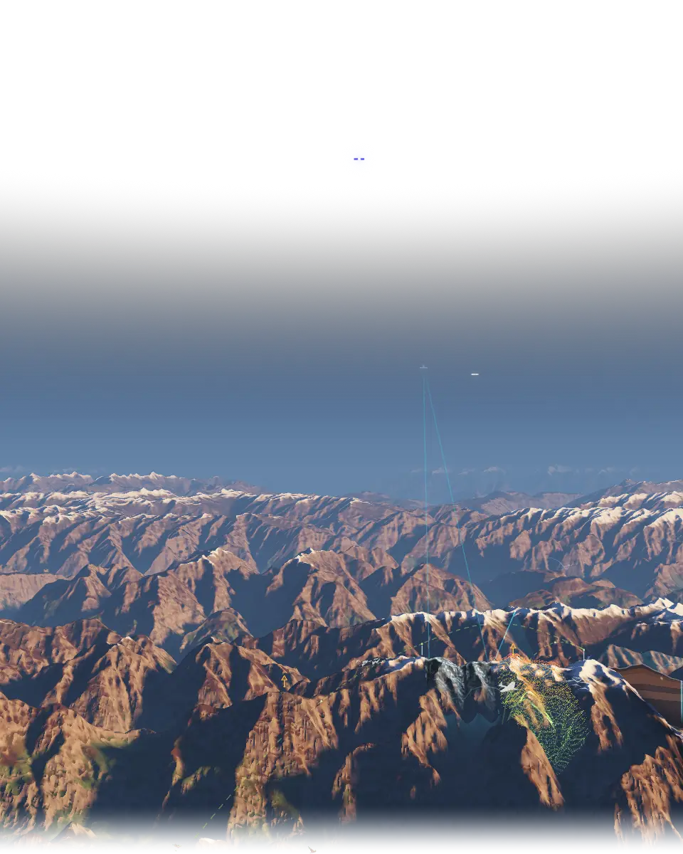
A country-scale, fully offline mission simulation and command-and-control platform that generates its 3D scene at runtime from what operators draw on a 2D tactical map, so formations drawn in 2D play out as those formations in 3D, on a timeline.
- person team
- 10
- feature types
- 100+
- FPS
- 30+
The challenge
The platform simulates missions and visualises command and control across a whole country, and it runs with no network at all. Its core is runtime generation: real-time 2D tactical drawing drives a 3D terrain engine, so formations drawn on the 2D map play out as those formations in 3D, on a timeline.
What I did
- Generating the 3D scene at runtime from the 2D drawing
- Sharing each saved scenario by clearance, decided in an admin panel
Stack
The result
- The platform was delivered end to end into high-security offline sites, from the servers to the projection hardware.
- It generates 100+ feature types from the 2D drawing at runtime and sustains 30+ FPS in 3D.