Contents
Context
Survey and mapping, agriculture and point-to-point delivery each needed an aircraft set up for the work. Across multirotor, VTOL and fixed-wing, my team and I built multiple platforms.
Constraints
- Airframes were bought, not designed. The engineering went into everything that flies, senses and controls them.
- Each sector had its own requirements, agriculture above all.
- Every platform needed its own stack: firmware, payload, ground communications and ground control.
- One cross-functional team for all of it; the team peaked at 15+.
Architecture
Components and flows
Components
- Aircraft
- Proven commercial airframe (multirotor, VTOL or fixed-wing)
- Flight controller (custom PX4 or ArduPilot firmware)
- Companion computer (Jetson Nano, embedded boards)
- Payload and surveying system
- Ground
- Ground communications
- Ground control and C2
Flows
- Flight controller to Proven commercial airframe (control)
- Payload and surveying system to Companion computer (sensor data)
- Companion computer to Flight controller (MAVLink)
- Flight controller to Ground communications (telemetry)
- Ground communications to Ground control and C2
My team and I integrated and customised each platform:
- Flight control: custom firmware on PX4 and ArduPilot, and Arduino-based controllers where a platform needed them.
- Onboard computing: NVIDIA Jetson Nano, with Arduino, STM32 and ESP32 boards; firmware in C++ and Python, and ROS and ROS2.
- Surveying and mapping: a custom surveying and mapping system.
- Ground: our own ground communications, ground control and C2, over MAVLink (see UAV mission C2 and antenna tracking).
A few of them show the range:
- Agriculture VTOL, customised to the sector's requirements, with ~2-hour endurance.
- Window-cleaning quadcopter, whose custom firmware read its sensors and generated its flight path at runtime.
- Point-to-point delivery, from A to B.
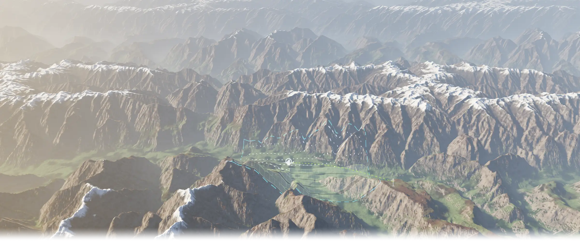
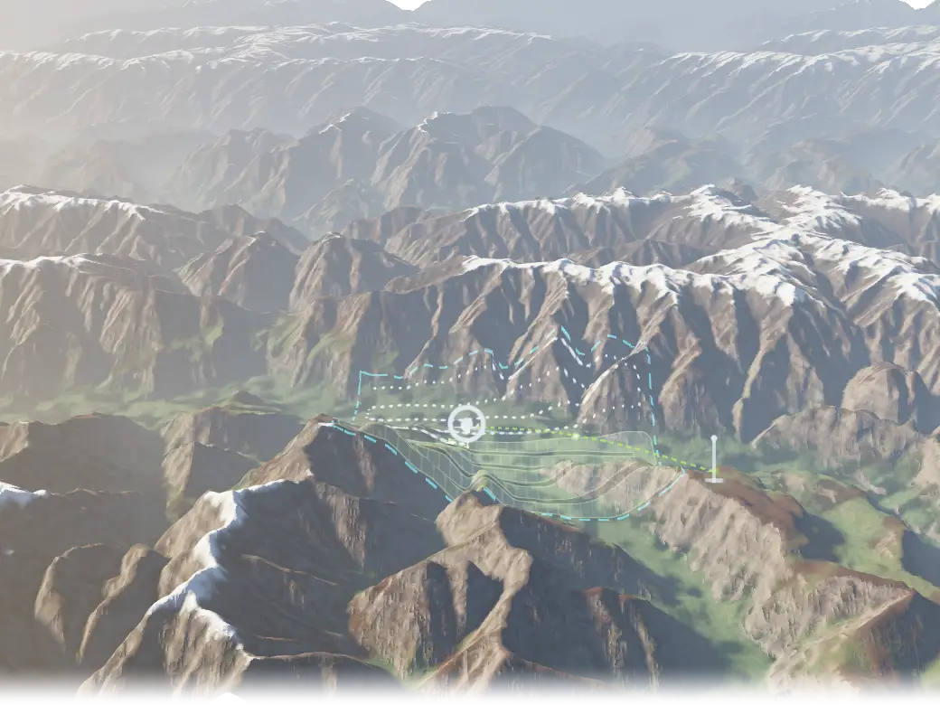
Terrain SURVEY FLIGHT
- SURVEY AREA
- FLIGHT PATH
- SURVEY SWATH
- GROUND CONTROL
- TELEMETRY LINK
Illustrative concept, not a product screenshot. Terrain: public Terrarium elevation tiles over the Karakoram, chosen for relief.
Key decisions
-
We bought proven commercial airframes rather than designing our own, and put our engineering into the firmware, payloads, surveying system, comms and ground control.
-
PX4 on some airframes and ArduPilot on others, chosen per platform.
My role
As co-founder and CTO of the engineering company, I owned the architecture of every platform and wrote much of the code myself, from firmware to ground control, leading a cross-functional team that peaked at 15+.
Outcome
Platforms for survey and mapping, agriculture and delivery, each with its own firmware, payload integration, ground communications and ground control.
Stack
Each links to its entry on the stack page
Ask about this
What did the custom UAV platforms do, and what did Awais build on them?
Answers come from the content on this site.
The chat needs JavaScript. Without it, ask through the contact page.